It’s no coincidence the Iowa Department of Transportation is releasing its new edition of the Iowa Bike Map the same week tens of thousands of cycling enthusiasts are in the state for RAGBRAI. Mark Hansen, a D-O-T transportation planner, says officials are hoping some of those out-of-state visitors will pick up a free bike map and make plans for a return trip to Iowa.
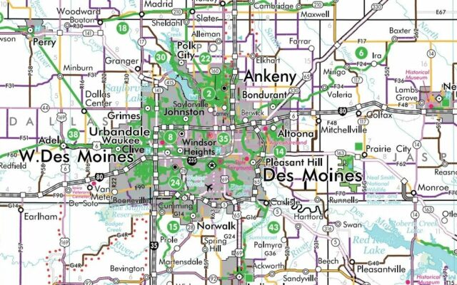
The state ordered 150-thousand bike maps this year and they’re available at all welcome centers, interstate rest areas, and by visiting www.iowadot.gov/iowabikes. The maps display hundreds of miles of multiuse trails, as well as a summary of Iowa bicycling laws, and bike safety tips. They also include trail maps of the state’s largest cities, and something new this year that helps cyclists choose the routes that best suit their level of riding experience.
The maps detail paved and unpaved bike paths, as well as trailheads, restrooms, public water supplies, and more. Iowa’s interstates were highlighted in red on previous maps, but that’s changed this year.
The maps once detailed every bike trail in Iowa that was at least five miles long, but that list got to be too long, so Hansen says this year’s map shows 51 trails that are at least -ten- miles long.
The map’s cover photo this year is of the new Interstate 74 bridge at the Quad Cities which includes a bike trail on its western span.