Even with all of the satellite mapping technology on our smartphones, some Iowans still enjoy having the old-school paper road maps in their vehicle’s glove box. The 2023-2024 edition of the Iowa Transportation Map is now available. Mark Hansen, a transportation planner with the Iowa D-O-T, says the new edition has a host of changes from last year.
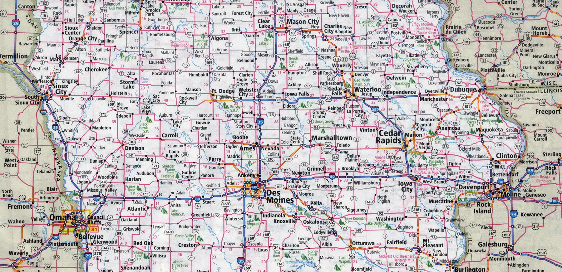
The map shows all of Iowa’s highways, airports, railroad lines, lakes, rivers, and major county roads. Smaller detail maps are also included for the state’s 16 largest cities which identify highways, major streets, and city boundaries.
The map includes a chart to find mileage between select Iowa cities along with an index listing all of the cities shown on the map, along with their populations and their map locations.
There’s also a link to a mobile app version available at the same website. The maps are printed every two years and they’re free.